Utility Surveys
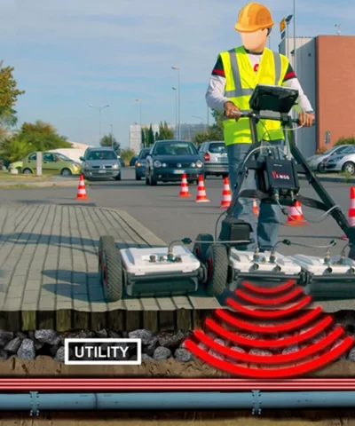
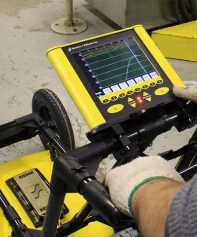
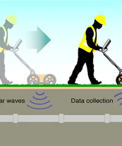
Underground Utility Surveys are detailed and accurate drawings which identify all underground utilities and service routes. Underground services such as telecommunications, Gas, Water, drainage and electricity cables are able to be surveyed through our non-intrusive ground probing radar equipment. This equipment can detect services through materials such as soil, concrete, brick and masonry
The findings are then usually overlaid onto the Topographical survey allowing the client to understand the location and depths of all underground services relative to the Topographical survey. GPR surveys are essential for those engaged in design, construction and feasibility studies. Our drawings are issued in both DWG and PDF formats.
Essex – United Kingdom Scope of Works: Location: Essex – United Kingdom To undertake a full measured building survey of this split level property once owned by a well-known MP. The building had many different levels and due to this
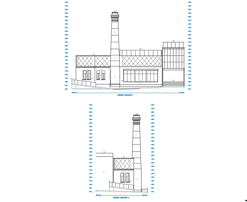
City of London – United Kingdom Scope of Works: Location: City of London – United Kingdom To search and locate a water leak within this grade 1 listed chimney, our client required existing elevations drawn prior to the removal of
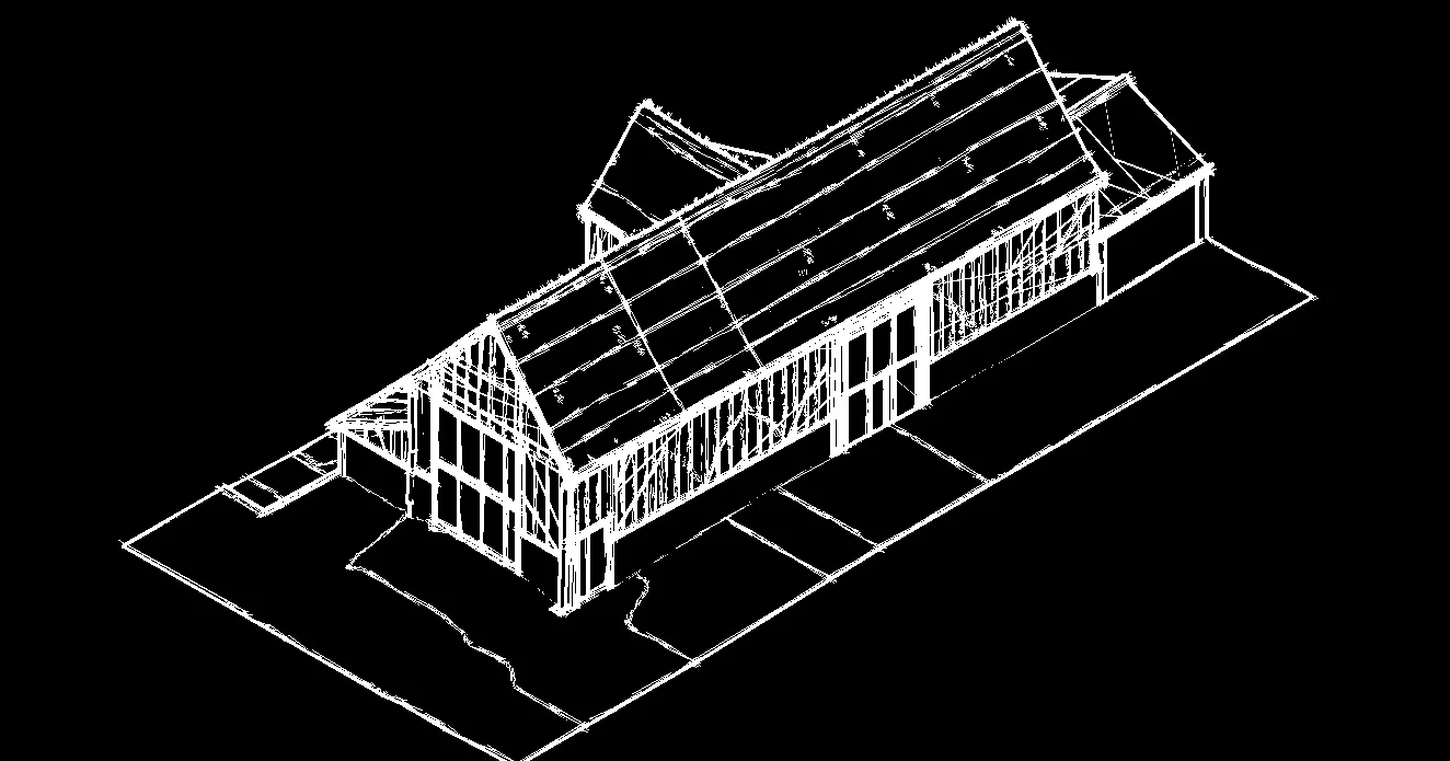
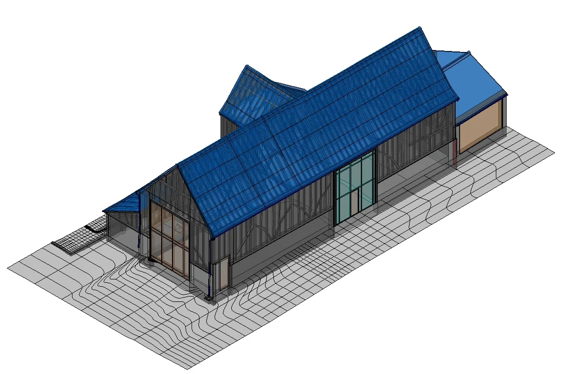
Essex – United Kingdom Scope of Works: Location: Essex – United Kingdom To produce a 3D model of an existing barn to redevelop it into a habitable dwelling. The client had asked Laser Survey Services to undertake a full 2D
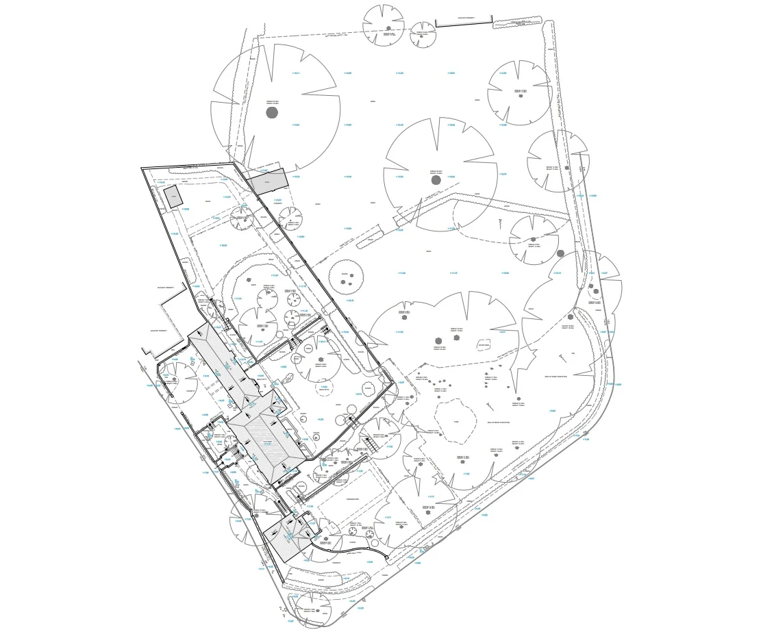
Kent- United Kingdom Scope of Works: Location: Kent – United Kingdom To produce an accurate and comprehensive Topographical survey to aid with the design of a new dwelling and legal split of land. A grade 2 listed property in Kent with
