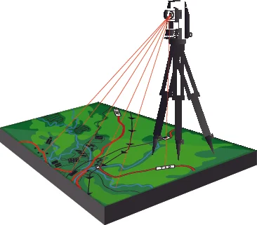
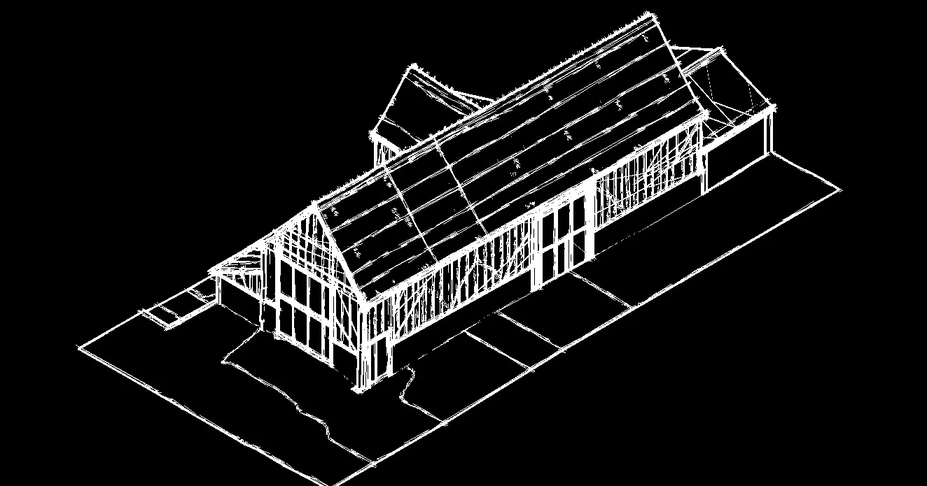
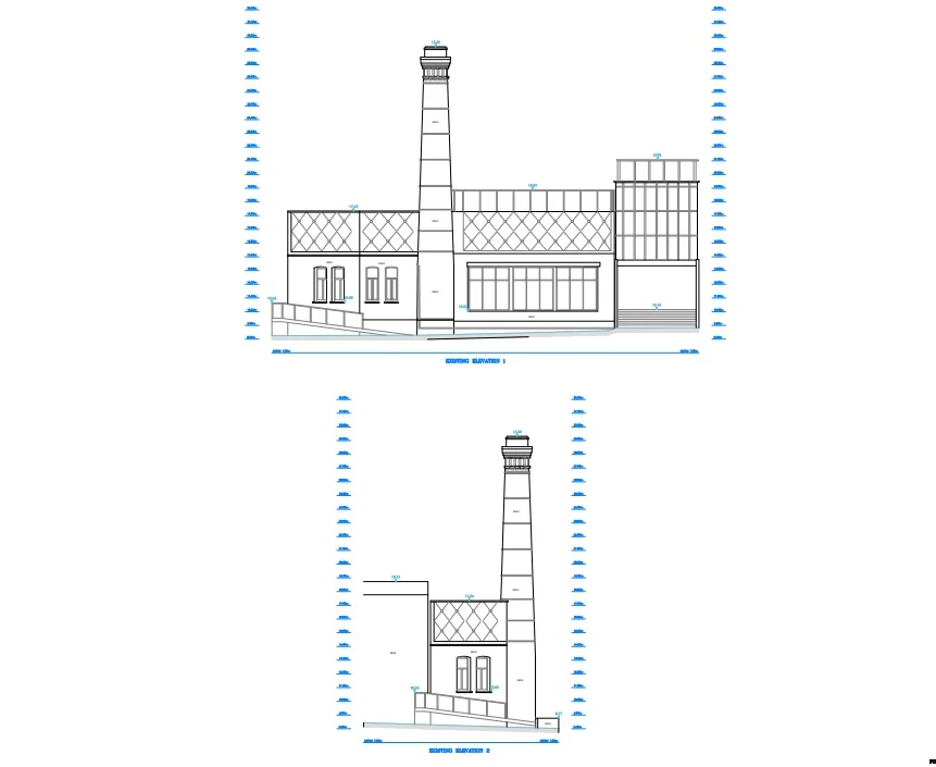
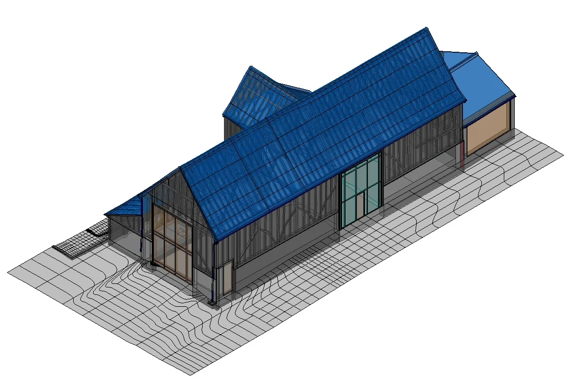
A topographical survey or land survey gives a client the ability to understand the site’s gradient together with the legal boundary ownership. On site, the surveyor will survey and plot natural and man made features, such as buildings, road edging, service covers, trees, surface types and levels to supply the client with the most detailed survey to aid with the design and planning process.