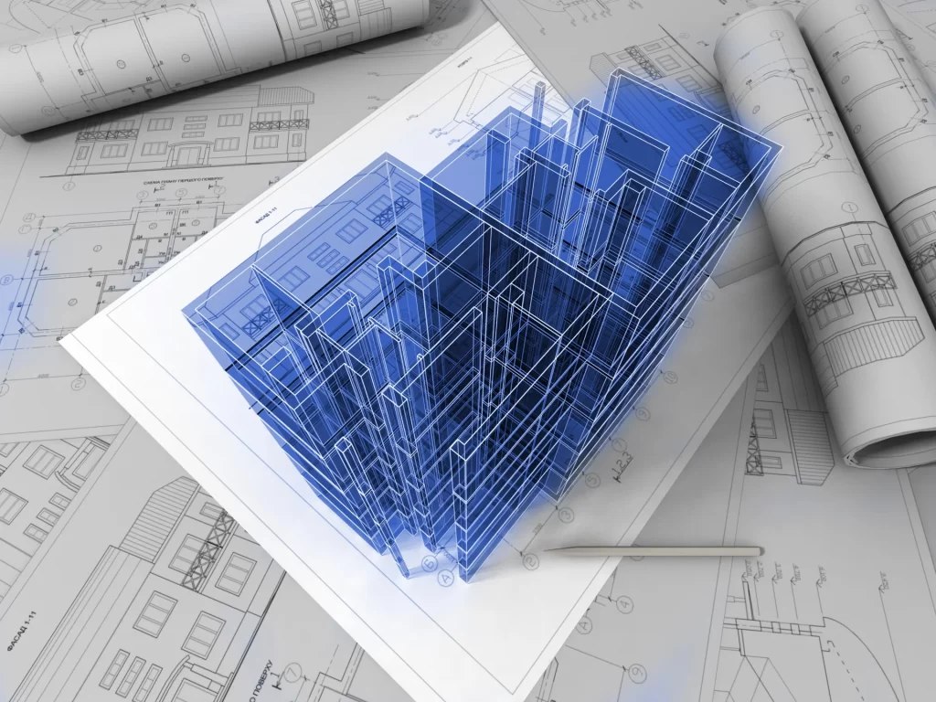
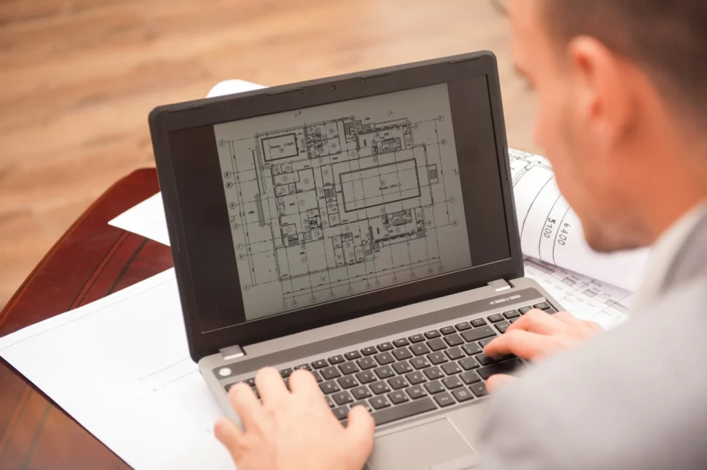
2D and 3D drafting 2D and 3D drafting Here at Laser Survey Services, we have a team on hand to quickly and efficiently draft survey drawings from point cloud data. Our in-house team have a vast amount of knowledge and
2D and 3D drafting 2D and 3D drafting Here at Laser Survey Services, we have a team on hand to quickly and efficiently draft survey drawings from point cloud data. Our in-house team have a vast amount of knowledge and
Area Calculations Area Calculations Laser Survey Services provide area reports which are based on the current RICS code of measuring practice. Our area reports are clear and comprehensive and are shown on scaled drawings which outline the exact area indicating

Rights of Lights Survey Rights of Lights Survey The law of right to light is an easement that gives a landowner the right to receive light through defined apertures in buildings on his or her land. This law goes back
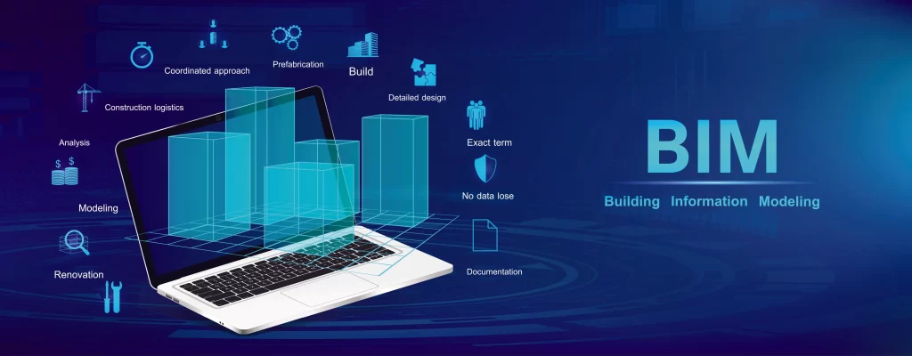
Building Information Modelling (BIM) Building Information Modelling Here at Laser Survey Services, we have a competent BIM modelling team who specialises in the production of 3D BIM models ” Building Information Modelling “. Best described as the process of producing
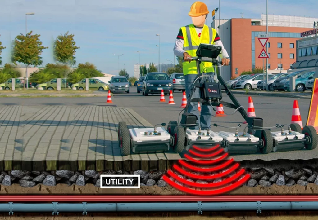
Utility Surveys Utility Surveys Underground Utility Surveys are detailed and accurate drawings which identify all underground utilities and service routes. Underground services such as telecommunications, Gas, Water, drainage and electricity cables are able to be surveyed through our non-intrusive ground
3D Laser Scanning 3D Laser Scanning Laser scanning is the fastest and most accurate way to collect data to date. By undertaking a single 3D laser scan of an area, we are able to build a factual and accurate model
Measured Building Surveys Floor Plans / Elevations / Cross Sections Measured Building Surveys For any design and refitting project, it is critical to first be supplied with an accurate and complete set of existing plans. Using the very latest 3D
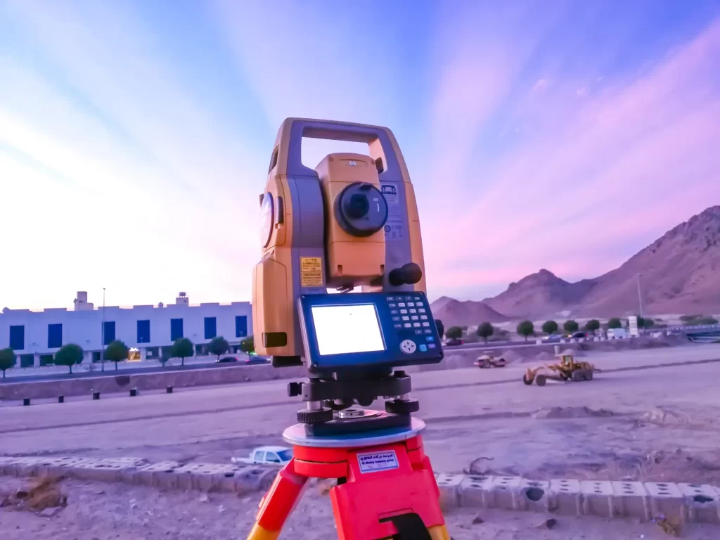
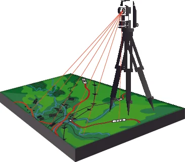
Topographical Survey Topographical Survey Our experienced Land Surveying teams undertake Topographical surveys across the UK using the very latest in survey technology, equipment and software packages.Surveys from small to large sites can be catered for, with the raw data collected